 |
 |
 |
 |
 |
 |
 |
 |
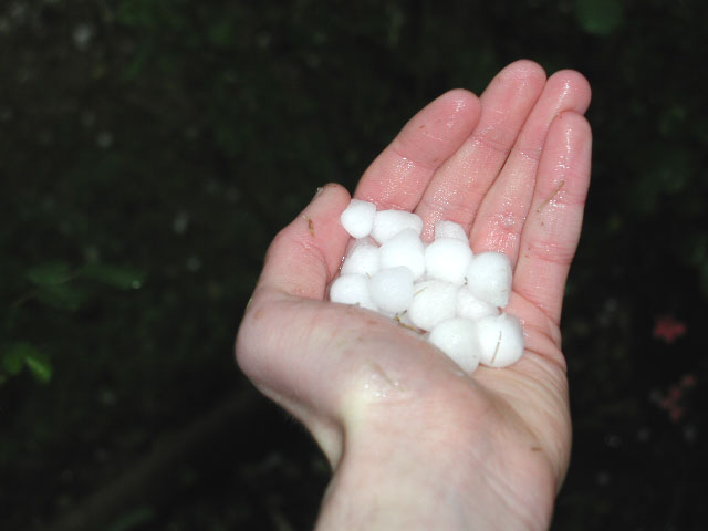 |
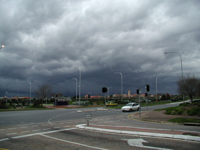
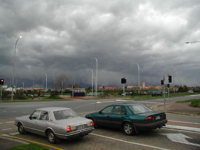
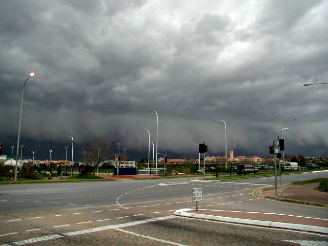
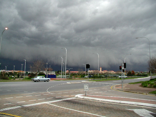
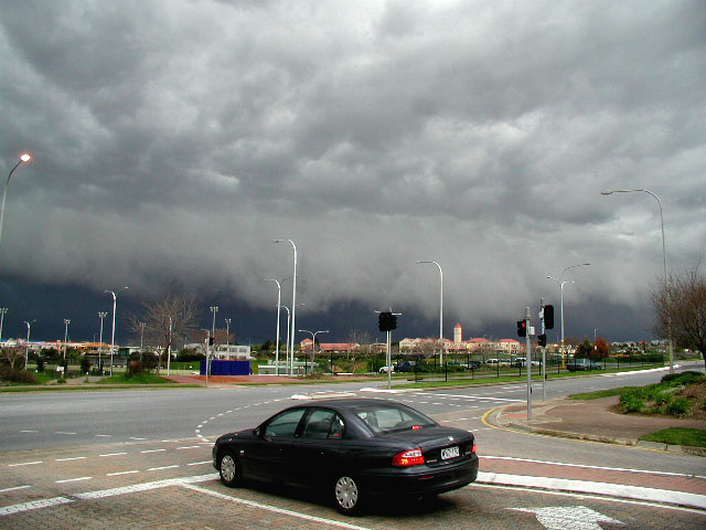
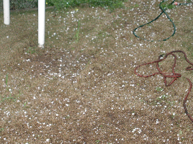
| Today the weather was nice and mild to warm with northerly wind and temperature was up to 21.2C. And then it got cloudy during the midday to early afternoon with cumulus clouds gradually thickening up. There were very isolated thunderstorms. Then radar was absolutely going off after that. I was getting dress quickly and digital camera ready. I was waiting for it to get closer a bit. I went for a walk quickly to nearest Golden Grove High school to see the view bit, woah! saw nice squall line approaching at around 2:40pm. (It was looking really nasty one.) I took some photos which it was approaching. Then it got closer, so I had to run fast to go home as this was following me. Then I got home, it went overhead about few minutes later, wind start to increase dramatically to strong to gale before the rain start slowly. Temperature dropped to below 11C. Then it turned into small hail at first, then it start to get bigger hailstone that start to fell down. So I saw bouncing everywhere. I rushed to get the camera to take shot of it and shot of it on my hand, then I picked up some hailstones and put it in the freezer. It was up to 2cm size, but mostly 1 to 1.5cm. Lightning was flashing and thunder was rumbling. There were plenty of hail on the ground. Storms were still persist with the rain until it cleared. It took around 30 minutes for some hailstones to melt. That was the severe thunderstorms that hit much of Adelaide on September this year since September 1998. Other place sure had better gust than I have. Kent Town recorded 79 kph. I was wondering about the Royal show!!! Oh no, that must be not a good news. Thats all folks! By Nathan Thompson. P.S A tornado reported North of Gawler. Teckert told on chatline about this that he has heard on the radio. It might need to confirm it though. |